Saturday, June 22, 2024

2024 Hurricanes - How They Work

2024 Hurricane Preparedness Week


Hurricane Basics & History

Hurricane Preparedness Week playlist on YouTube

"Too many families know the pain of having their lives and livelihoods devastated by powerful hurricanes, tropical storms, and typhoons. During National Hurricane Preparedness Week, we shed light on the dangerous impacts of hurricanes and share best practices on how to prepare and stay safe. We also show our gratitude to the first responders, volunteers, and all those who help to prepare communities in advance and rescue, recover, and rebuild in the wake of their darkest moments."  President Biden

Hurricane Zone
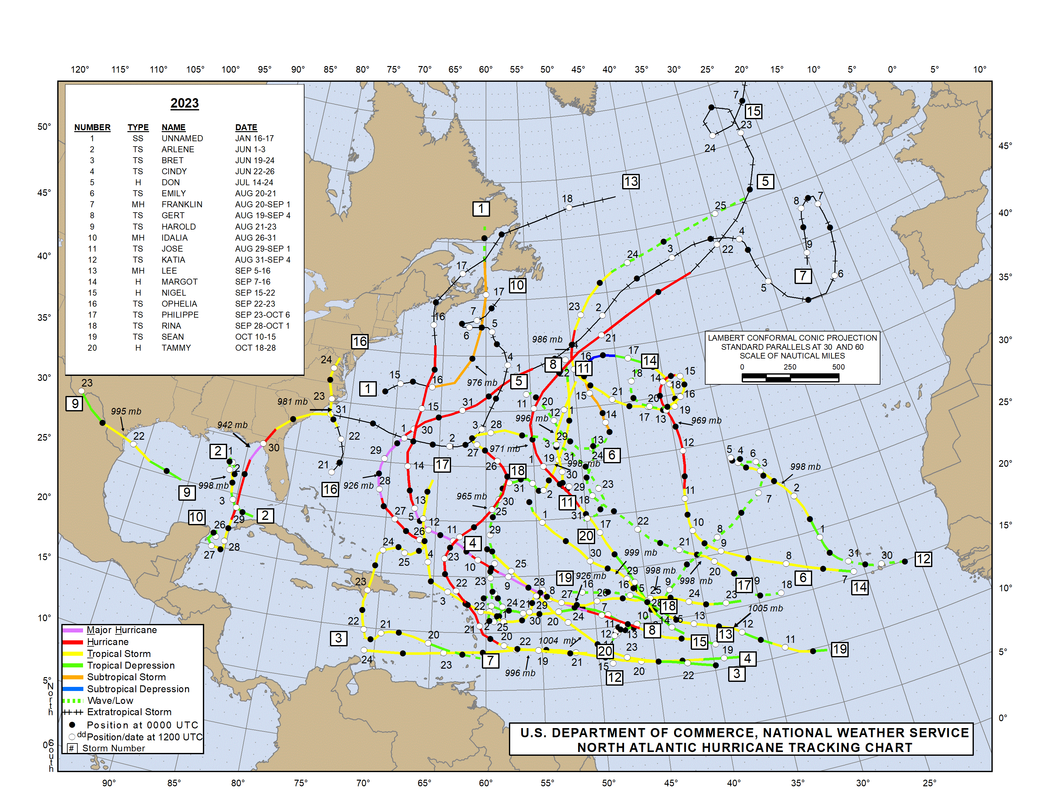
Looking for past or current hurricanes?  Click Image or Here

President Obama declared May 5 - May 11 “National Hurricane Preparedness Week." FEMA, along with the National Oceanic and Atmospheric Administration (NOAA), is helping to raise awareness of steps that can be taken to help protect citizens, and their communities and property. 

What is a Hurricane?
A hurricane is a type of tropical cyclone, which is a generic term for a low pressure system that generally forms in the tropics. The cyclone is accompanied by thunderstorms and, in the Northern Hemisphere, a counterclockwise circulation of winds near the earth's surface. Tropical cyclones are classified as follows:

* Sustained winds
A 1-minute average wind measured at about 33 ft (10 meters) above the surface.

** 1 knot = 1 nautical mile per hour or 1.15 statute miles per hour. Abbreviated as "kt".
Tropical Depression
An organized system of clouds and thunderstorms with a defined surface circulation and maximum sustained winds* of 38 mph (33 kt**) or less

Tropical Storm
An organized system of strong thunderstorms with a defined surface circulation and maximum sustained winds of 39-73 mph (34-63 kt)

Hurricane
An intense tropical weather system of strong thunderstorms with a well-defined surface circulation and maximum sustained winds of 74 mph (64 kt) or higher

Familiarize yourself with the terms that are used to identify a hurricane.
  • A hurricane watch means a hurricane is possible in your area. Be prepared to evacuate. Monitor local radio and television news outlets or listen to NOAA Weather Radio for the latest developments.
  • A hurricane warning is when a hurricane is expected in your area. If local authorities advise you to evacuate, leave immediately.
Hurricanes are classified into five categories based on their wind speed, central pressure, and damage potential. Category Three and higher hurricanes are considered major hurricanes, though Categories One and Two are still extremely dangerous and warrant your full attention.The following chart details the categories and the damage that can result from a storm with that strength.
 
Saffir-Simpson Hurricane Scale

Saffir-Simpson Hurricane Scale for Kids (NASA)

Scale Number (Category) Sustained  Winds Damage Storm Surge


1
74-95 mph
64-82 kt
119-153 km/h
Very dangerous winds will produce some damage: Well-constructed frame homes could have damage to roof, shingles, vinyl siding and gutters. Large branches of trees will snap and shallowly rooted trees may be toppled. Extensive damage to power lines and poles likely will result in power outages that could last a few to several days. 4-5 feet


2
96-110 mph
83-95 kt
154-177 km/h
Extremely dangerous winds will cause extensive damage: Well-constructed frame homes could sustain major roof and siding damage. Many shallowly rooted trees will be snapped or uprooted and block numerous roads. Near-total power loss is expected with outages that could last from several days to weeks. 6-8 feet


(major)
111-129 mph
96-112 kt
178-208 km/h
Devastating damage will occur: Well-built framed homes may incur major damage or removal of roof decking and gable ends. Many trees will be snapped or uprooted, blocking numerous roads. Electricity and water will be unavailable for several days to weeks after the storm passes. 9-12 feet


4
(major)
130-156 mph
113-136 kt
209-251 km/h
Catastrophic damage will occur: Well-built framed homes can sustain severe damage with loss of most of the roof structure and/or some exterior walls. Most trees will be snapped or uprooted and power poles downed. Fallen trees and power poles will isolate residential areas. Power outages will last weeks to possibly months. Most of the area will be uninhabitable for weeks or months. 13-18 feet


(major)
157 mph or higher
137 kt or higher
252 km/h or higher
Catastrophic damage will occur: A high percentage of framed homes will be destroyed, with total roof failure and wall collapse. Fallen trees and power poles will isolate residential areas. Power outages will last for weeks to possibly months. Most of the area will be uninhabitable for weeks or months. Greater than 18 feet

Hurricane History


In the following article, we  look at NOAA and Colorado State University forecasts for the 2024 Atlantic Hurricane Season which is expected to be very active.

NHC Data Archive

We will continue coverage of Hurricane Preparedness Week by looking at some of the hazards starting tomorrow.  Additional Hurricane information can be found in our static Hurricane Zone tab.


Hurricane Prep Series
Read entire series (click here)

More links and information about tropical storms and other weather conditions can be found in the Weather & Hurricane Zone tabs above.


If you live in, or plan to vacation in, an area where hurricanes are prevalent, please prepare in advance by reading our series.


I recently completed extensive training and have become Travel Safety Verified. As your dedicated Travel Advisor, your safety is our priority, and it's our job to ensure you have the necessary information you need to give you confidence and peace of mind when making your future travel plans. Click the link to review our Travel Safety program with valuable resources that will answer many of your questions.


Where have you explored? 

Gather your travel and food pics and join us every Wednesday for the latest installment of #FoodTravelChat


2024 National Hurricane Preparedness Week


2024 Hurricane Preparedness Week


National Hurricane Preparedness Week 2024
May 5th through May 11th

Be ready for hurricane season. Take action TODAY to be better prepared for when the worst happens. Understand your risk from hurricanes, and begin pre-season preparations now. Make sure you have multiple ways of receiving forecasts and alerts, and know what to do before, during, and after a storm.

The goal of NOAA's Hurricane Preparedness Web site is to inform the public about the hurricane hazards and provide knowledge which can be used to take ACTION. This information can be used to save lives at work, home, while on the road, or on the water.

A hurricane is a type of tropical cyclone or severe tropical storm that forms in the southern Atlantic Ocean, Caribbean Sea, Gulf of Mexico, and in the eastern Pacific Ocean. A typical cyclone is accompanied by thunderstorms, and in the Northern Hemisphere, a counterclockwise circulation of winds near the earth’s surface.

Every year, hurricanes put communities at risk of catastrophic damage from storm surges, flooding, high winds, and tornadoes.  During National Hurricane Preparedness Week, we rededicate ourselves to preventing loss of life and damage to property by raising awareness about hurricane hazards and taking action to protect our families, our homes, and our neighborhoods.

Hurricane season 2024: 'Storm Ready' helps get you prepared


NOAA Hurricane Prep: Videos (English)


Hurricane Prep Series
Read entire series (click here)

More links and information about tropical storms and other weather conditions can be found in the Weather & Hurricane Zone tabs above.


If you live in, or plan to vacation in, an area where hurricanes are prevalent, please prepare in advance by reading our series.


I recently completed extensive training and have become Travel Safety Verified. As your dedicated Travel Advisor, your safety is our priority, and it's our job to ensure you have the necessary information you need to give you confidence and peace of mind when making your future travel plans. Click the link to review our Travel Safety program with valuable resources that will answer many of your questions.


Where have you explored? 

Gather your travel and food pics and join us every Wednesday for the latest installment of #FoodTravelChat


2024 CSU Atlantic Hurricane Prediction


2024 Atlantic Hurricane Forecast

Forecasters at the Colorado State University are predicting that the 2024 Atlantic basin hurricane season will have an extremely active 2024 hurricane season. The season begins June 1st and continues through November 30th.

UPDATED: JULY 9, 2024


On Tuesday, Colorado State researchers raised expectations following a hot start to the 2024 season. Experts are now expecting 25 named storms, 12 hurricanes and six major hurricanes in the Atlantic this year. The center pointed to Hurricane Beryl's record-breaking formation and intensity as indicative of the ongoing extreme conditions in the ocean.

 
Their current (June 11th) and past (April 4th) forecast predicts a 50% more likelyhood (over the averages from 1880 - 2020) for major hurricanes making landfall along the United States coastline and in the Caribbean.

The updated June forecast takes newly available data into consideration as the season commences. Uncertainty remains in the forecast, however, as the atmosphere-ocean system can sometimes change dramatically between this month and the peak of the Atlantic hurricane season, which runs from August–October.

As is customary, NOAA made their first prediction at the end of May. So, why does Colorado State University's team of scientists create an April forecast? Mainly because the public is curious about predictions based on the current global oceanic and atmospheric conditions. The forecasting team created their predictions using a statistical model based on 29 years worth of data.  This is the 41st year in which the CSU Tropical Meteorology Project has made forecasts of the upcoming season’s Atlantic basin hurricane activity.

Not the storm you are looking for?  Click Image or Here

According to CSU scientists, "El Niño conditions are weakening quickly across the tropical Pacific and are likely to transition to La Niña conditions by the peak of the Atlantic hurricane season. La Niña tends to weaken upper-level westerly winds across the Caribbean and the tropical Atlantic. These decreased upper-level winds result in reduced vertical wind shear, favoring Atlantic hurricane formation and intensification. "

Coastal residents are reminded that it only takes one hurricane making landfall to make it an active season for them, and they need to prepare the same for every season, regardless of how much or how little activity is predicted.

The Juine forecast calls for 23 named tropical storms with 11 strengthening to hurricane status. Of those hurricanes, 5 are predicted to be a major hurricane (Category 3,4, or 5). The team will issue additional forecasts on July 9 and Aug. 6.

The report also includes the probability of major hurricanes making landfall:
 
The team forecasts 62% for the entire U.S. coastline (average from 1880–2020 is 43%),34% for the U.S. East Coast, including the Florida peninsula (average from 1880–2020 is 21%),42% for the Gulf Coast from the Florida panhandle westward to Brownsville (average from 1880–2020 is 27%), and 66% for the Caribbean (average from 1880–2020 is 47%).

This is the highest predicted number of hurricanes that CSU has ever issued in a June outlook. The prior high was for 10 hurricanes in 2010 (when 12 were observed) and in 2022 (when eight were observed). June forecasts have been issued by CSU since 1984.
 
More reading: Current and Past Forecasts


Another reason why Colorado State University publishes forecasts is for hurricane preparedness.   We too are publishing this information, along with updates throughout hurricane season, to help protect life and property when danger approaches.

As I've said many times,  the cruise line industry has safety of passengers, crew, and vessels as their number one priority.   The cruise lines work closely with the NHC and other agencies to monitor all sorts of weather conditions, including tropical storms.   The ships may alter courses and cancel ports of call in order to maintain the level of safety for all onboard.  We will keep you posted about any known itinerary changes during hurricane season.   Should your cruise itinerary change due to a tropical storm, don't be upset, but rather thank the Captain and crew for taking you out of harm's way.  Read our blog post 4 Things To Help Plan Vacation in Hurricane Season...

More links and information about tropical storms and other weather conditions can be found in the Weather & Hurricane Zone tabs above.  We will feature several articles during Hurricane Preparedness week once again.   Until then, you can click the link below for last year's series.

Read Entire Series (click here)


I recently completed extensive training and have become Travel Safety Verified. As your dedicated Travel Advisor, your safety is our priority, and it's our job to ensure you have the necessary information you need to give you confidence and peace of mind when making your future travel plans. Click the link to review our Travel Safety program with valuable resources that will answer many of your questions.


Where have you explored? 

Gather your travel and food pics and join us every Wednesday for the latest installment of #FoodTravelChat


Hurricane Preparedness

Hurricane Season Ahead

Hurricane Preparedness 

#ItOnlyTakesOne
#HurricaneStrong

"It only takes one storm to change your life and community. Tropical cyclones are among nature’s most powerful and destructive phenomena. If you live in an area prone to tropical cyclones, you need to be prepared. Even areas well away from the coastline can be threatened by dangerous flooding, destructive winds and tornadoes from these storms."  ~NOAA

June 1st is the Start of the Atlantic Hurricane Season

Updated June 2024

The goal of NOAA's Hurricane Preparedness Web site is to inform the public about the hurricane hazards and provide knowledge which can be used to take ACTION. This information can be used to save lives at work, home, while on the road, or on the water.

 [Click Image for Day's Hurricane Preparedness Blog Page]

Hurricane Hazard Risks


Hurricaners Ahead
Click for Owlie & Other Kids Resources
A hurricane is a type of tropical cyclone or severe tropical storm that forms in the southern Atlantic Ocean, Caribbean Sea, Gulf of Mexico, and in the eastern Pacific Ocean. A typical cyclone is accompanied by thunderstorms, and in the Northern Hemisphere, a counterclockwise circulation of winds near the earth’s surface.

Every year, hurricanes put communities at risk of catastrophic damage from storm surges, flooding, high winds, and tornadoes.  During National Hurricane Preparedness Week, we rededicate ourselves to preventing loss of life and damage to property by raising awareness about hurricane hazards and taking action to protect our families, our homes, and our neighborhoods.


Cruising During Hurricane Season
Click Here to Learn More


For additional information about hurricanes, including useful links, 
see the static  "Hurricane Zone" tab above.

If you live in, or plan to vacation in, an area where hurricanes are prevalent, please prepare in advance by reading our series.


I recently completed extensive training and have become Travel Safety Verified. As your dedicated Travel Advisor, your safety is our priority, and it's our job to ensure you have the necessary information you need to give you confidence and peace of mind when making your future travel plans. Click the link to review our Travel Safety program with valuable resources that will answer many of your questions.


Where have you explored? 

Gather your travel and food pics and join us every Wednesday for the latest installment of #FoodTravelChat